Oxford Street Is Going Car-Free. Here's What It Actually Means for You
London Mayor Sadiq Khan officially approved the pedestrianisation of Oxford Street yesterday. If you haven't heard yet, here's everything you need to know -- explained simply, without the politics.
What Exactly Did Sadiq Khan Approve?
On February 26th, Mayor Sadiq Khan signed off on plans to ban all vehicles from a 0.7-mile stretch of Oxford Street. That's the section running between Great Portland Street (near IKEA) and Orchard Street (near Selfridges).
Every type of vehicle is out: private cars, buses, taxis, Ubers, bicycles, e-scooters, and pedicabs. Emergency services will still have access at all times, and delivery vehicles can use the road between midnight and 7am to keep businesses stocked.
Construction work starts this summer. The first traffic-free section will be live by the end of 2026. The full permanent design think al fresco dining areas, green spaces, and event spaces is expected to be published by November 2027.
Why Did the Mayor Decide to Pedestrianise Oxford Street?
Oxford Street draws around half a million visitors every single day. It is one of the most visited shopping destinations on the planet. But over the past decade it has been struggling footfall dropped during the pandemic, vacancy rates climbed, and the street gained a reputation for being chaotic, loud, and not particularly pleasant to walk along. Oxford Street's footfall is currently sitting at just 57% of its 2006 level.
Khan's argument is straightforward: a cleaner, quieter, pedestrian-focused Oxford Street will attract more visitors, support more businesses, and bring the street back to its status as a genuine world-class destination comparable to the Champs-Elysees in Paris or Fifth Avenue in New York.
There is also an air quality angle. Banning vehicles from one of London's most congested corridors is expected to meaningfully improve pollution levels in the surrounding area.
A public consultation found 66% of Londoners supported the idea. Major retailers on the street Selfridges, John Lewis, and IKEA all backed the plans. Khan has wanted to do this since his 2016 election campaign, and a previous attempt was blocked in 2018 by the then-Conservative-run Westminster City Council. This time, he obtained government permission to create a new Mayoral Development Corporation that stripped Westminster of the power to stop him.
Will Oxford Street Congestion Get Worse on Surrounding Streets?
This is where things get complicated for anyone who drives in central London.
Oxford Street has already been closed to general private traffic during the day for years, so for most drivers the direct impact on Oxford Street itself is limited. The bigger issue is what happens to everything that previously moved along that stretch particularly the 15 bus routes that currently use it.
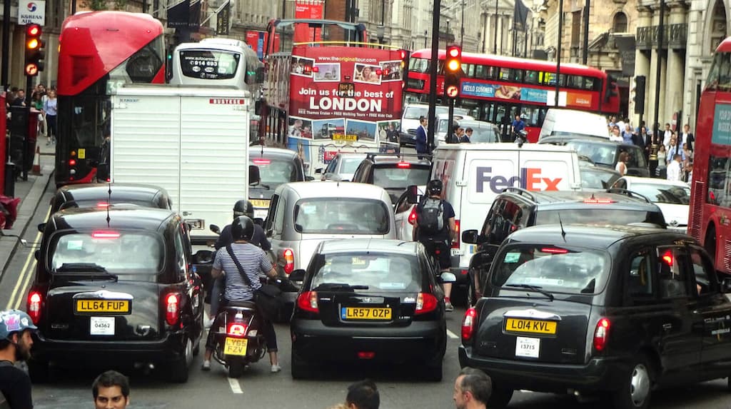
TfL's own analysis projects that surrounding streets will see significant increases in traffic. Wigmore Street, which runs parallel to the north, could see up to 100 additional vehicles per direction during rush hour. Regent Street could see up to 300 more vehicles in the morning. Bus routes will be curtailed, rerouted, or terminated earlier than before.
This connects directly to London's broader congestion pricing picture. The Congestion Charge Zone already covers this part of central London, meaning drivers pay to enter the area. With more vehicles being pushed onto narrower side streets, those who do drive into or around the West End may find journeys slower and more expensive as congestion builds on alternative routes. If you regularly drive through Marylebone, Mayfair, or Soho, expect the surrounding grid to be meaningfully busier once the changes take effect.
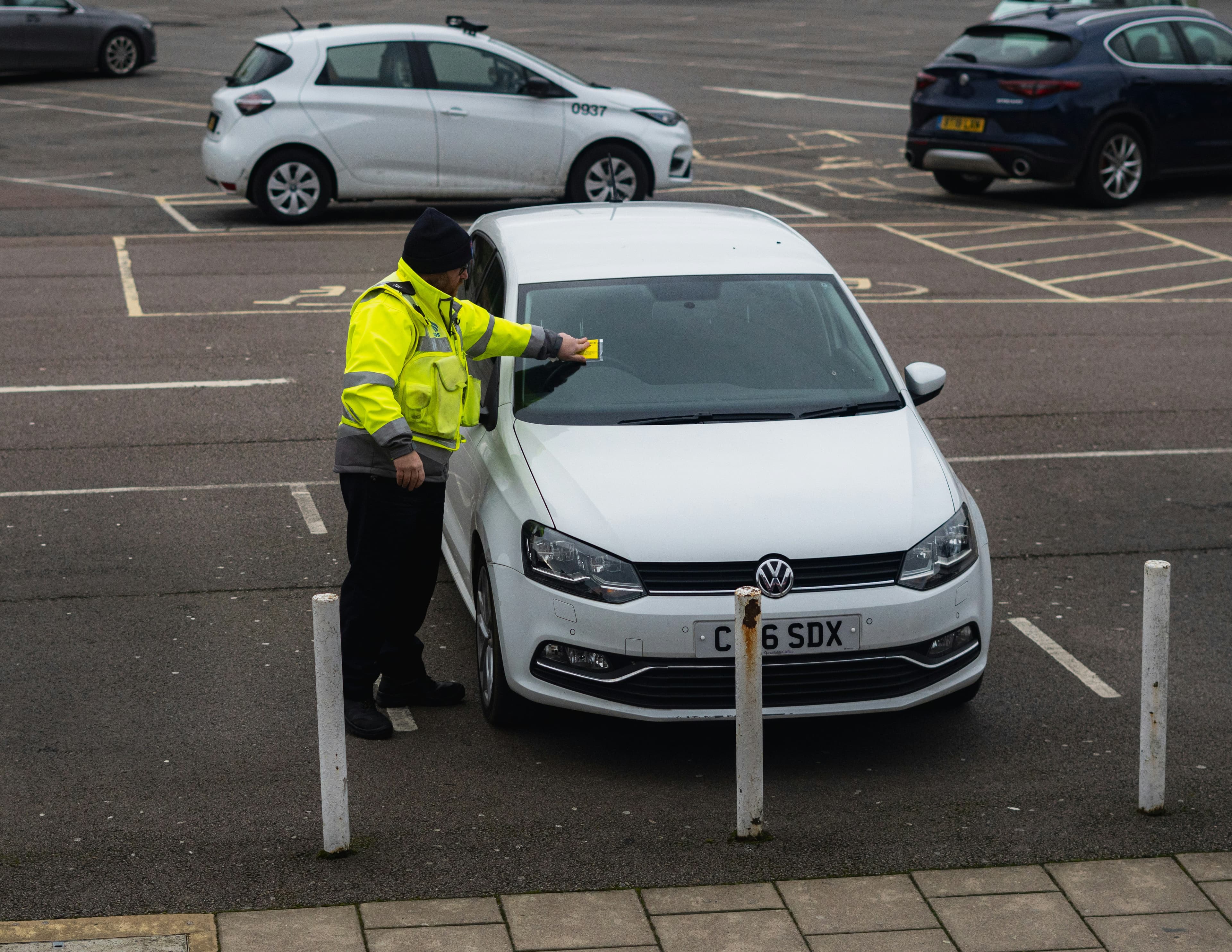
For drivers who still need to come into the area, navigating parking on unfamiliar diverted routes is one of the most practical day-to-day headaches this change creates. Every side street in this part of London has its own rules resident permit zones, loading bay hours, rush hour clearways, and time-limited bays that change block by block. Getting it wrong means a ticket or a tow.
This is exactly the kind of situation the ATME app's AI Parking feature was built for. Enter the street you are on, and it reads the actual parking rules for that specific location -- time-based restrictions, street-side variations, rush hour bans -- so you know whether you can legally stop before you even get out of the car. During the construction phase through late 2026, when temporary restrictions and contraflows will be shifting regularly, having that real-time street-level guidance is far more reliable than assuming yesterday's rules still apply.
How Will It Affect Residents Living Near Oxford Street?
Local residents are divided. Many welcome a quieter, greener street. But residents' groups particularly the Marylebone Association have been vocal in their opposition, calling the plans "dangerous, unworkable and catastrophic for surrounding neighbourhoods."
Their concern is that displaced traffic will push noise and pollution off Oxford Street and onto the quieter residential streets nearby. The Marylebone Association also raised a harder-to-dismiss worry: that a large, vehicle-free pedestrian zone with no natural traffic deterrent could become a magnet for crime. That concern carries real weight. Vehicle crime in London already runs at 11.8 incidents per 1,000 vehicles the highest rate in the UK -- and a busier, less monitored surrounding street grid is not a reassuring backdrop.
For residents parking on nearby streets, ATME addresses this in two ways. The app's AI Parking system incorporates UK police crime data, so when you look up a street it can flag elevated vehicle crime in that area useful context before you decide where to leave your car overnight. And if you or a neighbour spots something suspicious near a parked vehicle, ATME's anonymous plate-to-plate messaging lets you alert that driver directly without confrontation and without it needing to escalate. That is a gap no car alarm or GPS tracker fills it requires someone who sees something and can actually reach the right person in the moment.
Westminster City Council, while no longer able to block the scheme, has said it will work to ensure the transformation benefits local communities -- and claims it secured key amendments to the original plans over the past 18 months.
What Does the Oxford Street Car Ban Mean for Disabled and Older People?
This is one of the most legitimate concerns raised during the consultation, and it deserves honest acknowledgement.
Oxford Street is not just a shopping destination for many people who rely on buses and taxis it is a vital corridor for getting across the city. TfL's own documentation notes that older people, disabled people, and pregnant women have higher rates of bus and taxi usage. Rerouting those services means longer walks to reach stops and less direct connections.
Over 300 consultation responses specifically raised concerns about reduced access for people with limited mobility. TfL says new bus stops, taxi ranks, and drop-off locations will be placed closer to the pedestrianised zone to compensate, but the details of exactly how that will work have not yet been fully published.
If this affects you or someone you care for, the Oxford Street Development Corporation will be releasing more detailed accessibility information in the coming weeks. You can follow updates at london.gov.uk/oxford-street.
Useful Resources
Whether you are a driver, a bus commuter, a business owner, or just someone trying to plan a trip into the West End, here is where to stay informed:
Official updates: london.gov.uk/oxford-street
TfL bus route changes: tfl.gov.uk (search Oxford Street)
Oxford Street Development Corporation: The body overseeing the transformation. Updates published regularly from spring 2026.
Congestion Charge Zone info: tfl.gov.uk/modes/driving/congestion-charge
ATME -- AI parking guidance and driver messaging: Available on the App Store and Google Play. Real-time street-level parking rules for West End streets, vehicle crime data, and anonymous licence plate messaging between drivers.
More detailed implementation plans, including the full bus rerouting schedule, are expected from the Mayor's office within the next week.
Frequently Asked Questions
When does Oxford Street pedestrianisation start? Construction begins in summer 2026. The first traffic-free section is expected to be open by the end of 2026, with the full permanent design published by November 2027.
Which part of Oxford Street is being pedestrianised? The section between Great Portland Street (near IKEA) and Orchard Street (near Selfridges) -- approximately 0.7 miles. Traffic will still be able to cross Oxford Street at five north-south points including Duke Street, Davies Street, and Regent Street.
Can buses still use Oxford Street? No. All 15 bus routes currently using the pedestrianised section will be rerouted or curtailed. Most will be redirected north via Wigmore Street. Some routes will terminate earlier at Marble Arch rather than continuing to Oxford Circus.
Can you still drive near Oxford Street? Yes -- the ban applies to Oxford Street itself, not the surrounding area. However, TfL projects significant increases in traffic on side streets. Wigmore Street could see up to 100 additional vehicles per direction in rush hour, and Regent Street up to 300 more vehicles in the morning.
Does the Congestion Charge still apply? Yes. The Congestion Charge Zone covers this part of central London and will remain in effect. Drivers entering the zone still pay the daily charge regardless of the pedestrianisation changes.
Will deliveries to Oxford Street businesses still be possible? Yes. Delivery vehicles can access the pedestrianised section between midnight and 7am to service retailers and businesses.
Can cyclists use the pedestrianised Oxford Street? No during the day. Cyclists may be permitted on the pedestrianised section in the early morning and late at night, though final details have not been confirmed.
Why was the pedestrianisation blocked before? A 2018 attempt was blocked by the then-Conservative-run Westminster City Council. Mayor Khan bypassed this obstacle in 2026 by obtaining government permission to create the Oxford Street Development Corporation, a new Mayoral body that took planning and highway control away from Westminster Council.
How much will the Oxford Street transformation cost? The scheme is expected to cost at least £150 million. The Mayor has allocated £18 million from business rates for the first year, with hopes that private investors will fund a significant portion of the remainder.
How do I find parking near Oxford Street now? With surrounding streets set to become significantly busier and parking rules varying block by block across Marylebone, Mayfair, and Soho, the ATME app's AI Parking feature gives you real-time parking rules for any specific street including time restrictions, permit zones, and rush hour bans -- before you get out of the car. Download on ATME - Parking Tips & Alerts) App Store & Google Play.
The first traffic-free sections of Oxford Street are expected to open by the end of 2026. This article will be updated as implementation details are confirmed.